The CLandage project will use learning from the past to better understand how communities might adapt to future changes in places and landscapes.
Background
Historically, landscapes, communities and people have coped with, and adapted to, environmental change, and continue to do so. This happens both through barely perceptible incremental changes, and also through rapid adjustments to abrupt environmental changes, for instance through landscape loss and gain.
Understanding how communities have adapted to changing circumstances in the past sheds light on how future changes might be managed and communicated, as well as how the resilience of people and their places can be enhanced, at a range of spatial and temporal scales.
However, as past community adaptation is often not well recorded or inaccessible, it is not part of decision making on how to respond to current and future environmental change. This project intends to addresses this gap.
Project scope
This project will focus on how communities have improved individual and community resilience through cultural, social, technological, behavioural adaptation and modification.
Using a long-term perspective, based on archaeological data, historical records and archives, will help to contextualise and contest claims of uniqueness, unparalleled magnitude or severity, which are often used to describe contemporary extreme weather, despite this often being based on experience gathered over a relatively short timescale. As well as providing valuable information about how communities have responded and adapted to past extreme weather, historical and archival data will also be used to explore the origin of our current environmental challenges, acknowledge the role of human activity at a local and landscape scale and how this knowledge can be used in the future management of these places.
The project will focus on three case study areas, the River Eden catchment (Cumbria), Staffordshire and the Outer Hebrides, which are each facing differing climate hazards. All of the case study areas have a strong association between the climate hazards and water, including flood, drought, and storms, which will form a central connecting theme for the project as a whole and will be the primary focus for the toolkit.
Legacy
The project will work with the case study communities to co-produce a toolkit to support adaptation decision making in these particular landscapes.
The toolkit will be developed using a multifaceted approach of cataloguing past features (archaeological, historic, material and archival) supplemented with contemporary oral histories located within a GIS data layer. Project partners include Fjordr, a consultancy company and project contractor, and Historic England, who will work with local communities throughout the process.
The toolkit produced as part of this project will be freely available as one of the project outputs.
Further information
For more information, please contact Neil.Macdonald@Liverpool.ac.uk or Hannah.Fluck@HistoricEngland.org.uk.
Click for more details about Fjordr
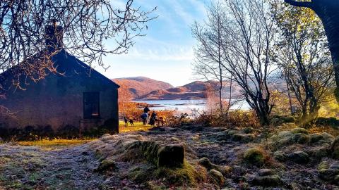
Image: Bothy, Scotland, Pixabay

